King Island
TAS

Luxury Hotels in King Island

A Bass Strait island of links golf, rock lobster and wild west-coast beaches

1 Hotel
$$$$$ Price Range
About King Island

King Island sits in Bass Strait, about halfway between Victoria and the north-west tip of Tasmania. It covers roughly 1,100 square kilometres of farmland, dunes and coastline, with around 1,600 residents. Most Australians know the name from King Island Dairy cheese and King Island beef, and southern rock lobster from these waters turns up on menus well beyond the island.

More than 100 ships have been wrecked on King Island’s reefs, including the Cataraqui in 1845, in which about 400 people died. Cape Wickham Lighthouse, first lit in 1861 on the northern tip, stands 48 metres tall, the tallest in Australia. In the south, Seal Rocks State Reserve protects the island’s highest cliffs and the Calcified Forest, where limestone casts of ancient tree stumps stand exposed in the dunes.

Golf is the island’s newer draw. Cape Wickham Links opened in 2015 beside the lighthouse and ranks 13th in Golf Digest’s World’s 100 Greatest Courses for 2026-27, and third in Australia. Ocean Dunes also sits in the top 20 of Australian Golf Digest’s national ranking.

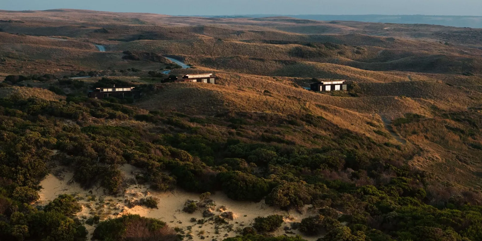
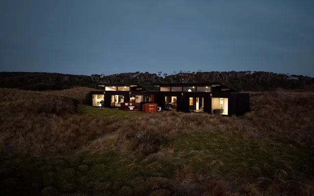
Luxury here is small-scale and private. The island’s leading stay, Kittawa Lodge, has just three dwellings across 96 acres of west-coast dunes, and flights from Melbourne and northern Tasmania put it within reach for a long weekend.
Area Map

1 property in King Island

Loading map…

Best Time to Visit

Seasonal guide for King Island

Best Time to Visit

Peak Season December to March

Long days, with the sun setting around 9pm in midsummer, and the warmest water for swimming and snorkelling. Muttonbirds return in summer. Book flights and hire cars early around Christmas and January.

Shoulder Season October to November and April to May

Mild weather, quieter roads and good conditions for golf and coastal walks.

Low Season June to September

Cooler and wetter, with Bass Strait storms rolling across the west coast. Winters are milder than Melbourne's, and the lodges' fireplaces come into their own.

Temperate maritime climate, cooler than Melbourne in summer and warmer in winter. Rainfall averages about 900 mm a year, most of it in winter, and the west coast is exposed to the westerly winds of the Roaring Forties.

Orienting Yourself

A sense of place in King Island

King Island is about 65 kilometres long and 25 kilometres wide, with around 1,600 residents at the 2021 census. Currie, on the west coast, is the main town, with the airport, shops and cafes close by. Grassy and Naracoopa sit on the quieter east coast. Luxury accommodation is scarce, and Kittawa Lodge, 15 minutes' drive south of Currie at Pearshape, is the main high-end option.

The two acclaimed golf courses are Cape Wickham Links on the northern tip, beside Australia's tallest lighthouse, and Ocean Dunes on the west coast. The south holds the Calcified Forest and the cliffs of Seal Rocks State Reserve. Distances are short, though there is no public transport, so plan on a hire car.

Further Reading

Guides and editorials for King Island

Getting There

Travel logistics for King Island

Getting There

Nearest Airport King Island (KNS) 20-minute drive to Kittawa Lodge
Alternate Airport Melbourne (Tullamarine) (MEL) 30-minute flight to King Island with Rex
Transfers

Rex flies from Melbourne Tullamarine, and Sharp Airlines flies from Essendon Fields in Melbourne and from Launceston and Burnie in Tasmania, including a direct Launceston service launched in May 2026. Timetables on these routes changed several times in 2026, so check current schedules before booking. Kittawa Lodge's All-Inclusive Experience includes private return airport transfers.

Car Rental

Yes. There is no public transport on the island, and King Island Car Rental hands over cars at the airport. An all-wheel-drive gives the most freedom on unsealed roads.